TDRSS scaled map for 1222955
GCN BAT Position Notice
TITLE:           GCN/SWIFT NOTICE
NOTICE_DATE:     Fri 19 Apr 24 01:48:51 UT
NOTICE_TYPE:     Swift-BAT GRB Position
TRIGGER_NUM:     1222955,   Seg_Num: 0
GRB_RA:           94.568d {+06h 18m 16s} (J2000),
                  94.744d {+06h 18m 59s} (current),
                  94.205d {+06h 16m 49s} (1950)
GRB_DEC:         -45.011d {-45d 00' 40"} (J2000),
                 -45.022d {-45d 01' 20"} (current),
                 -44.990d {-44d 59' 23"} (1950)
GRB_ERROR:       3.00 [arcmin radius, statistical only]
GRB_INTEN:       11826 [cnts]    Image_Peak=284 [image_cnts]
TRIGGER_DUR:     4.096 [sec]
TRIGGER_INDEX:   448     E_range: 15-50 keV
BKG_INTEN:       105491 [cnts]
BKG_TIME:        6422.70 SOD {01:47:02.70} UT
BKG_DUR:         40 [sec]
GRB_DATE:        20419 TJD;   110 DOY;   24/04/19
GRB_TIME:        6481.13 SOD {01:48:01.13} UT
GRB_PHI:          65.86 [deg]
GRB_THETA:        11.72 [deg]
SOLN_STATUS:     0x83
RATE_SIGNIF:     10.67 [sigma]
IMAGE_SIGNIF:    6.72 [sigma]
MERIT_PARAMS:     +1  +0  +0  +2  +1  -3  +0  +0 -12  +0
SUN_POSTN:        27.44d {+01h 49m 46s}  +11.30d {+11d 17' 49"}
SUN_DIST:         82.59 [deg]   Sun_angle= -4.5 [hr] (East of Sun)
MOON_POSTN:      158.81d {+10h 35m 15s}  +12.61d {+12d 36' 51"}
MOON_DIST:        81.54 [deg]
MOON_ILLUM:      80 [%]
GAL_COORDS:      252.74,-24.41 [deg] galactic lon,lat of the burst (or transient)
ECL_COORDS:       98.76,-68.31 [deg] ecliptic lon,lat of the burst (or transient)
COMMENTS:        SWIFT-BAT GRB Coordinates.
COMMENTS:        This is a rate trigger.
COMMENTS:        A point_source was found.
COMMENTS:        This does not match any source in the on-board catalog.
COMMENTS:        This does not match any source in the ground catalog.
COMMENTS:        This is a GRB.
COMMENTS:        Since the IMAGE_SIGNIF is less than 7 sigma, this is a questionable detection.
COMMENTS:        This trigger occurred at longitude,latitude = 208.93,-7.34 [deg].
GCN BAT Scaled Map Notice
TITLE:           GCN/SWIFT NOTICE
NOTICE_DATE:     Fri 19 Apr 24 01:59:20 UT
NOTICE_TYPE:     Swift-BAT Scaled Map
TRIGGER_NUM:     1222955,   Seg_Num: 0
POINT_RA:         77.942d {+05h 11m 46s} (J2000)
POINT_DEC:       -45.069d {-45d 04' 07"} (J2000)
MAP_DATE:        20419 TJD;   110 DOY;   24/04/19
MAP_TIME:        6481.13 SOD {01:48:01.13} UT
TRIGGER_DUR:     4.096 [sec]
SOLN_STATUS:     0x83
RATE_SIGNIF:     10.67 [sigma]
IMAGE_SIGNIF:    6.72 [sigma]
MAP_URL:         sw01222955000msbsm.fits
SUN_POSTN:        27.45d {+01h 49m 48s}  +11.30d {+11d 17' 58"}
MOON_POSTN:      158.89d {+10h 35m 34s}  +12.58d {+12d 34' 36"}
MOON_ILLUM:      80 [%]
GAL_COORDS:      250.60,-35.99 [deg] galactic lon,lat of the pointing direction
ECL_COORDS:       67.26,-67.56 [deg] ecliptic lon,lat of the pointing direction
COMMENTS:        SWIFT-BAT Scaled Map.
COMMENTS:
COMMENTS:        The next comments were copied from the BAT_POS Notice:
Scaled map image

The green circle (6 arcmin radius) is the BAT position (RA, Dec) = (94.568, -45.011).
Search BAT source with the INTEGRAL catalog
known_source_INTEGRAL.sh 94.568 -45.011 1.0
No source found
Results of batcelldetect
# RAcent  DECcent POSerr Theta    Phi  PeakCts   SNR AngSep     Name
#  [deg]    [deg]    ['] [deg]  [deg]                   [']
 19.2729 -73.4422    0.0  38.5  173.2   0.0118   0.8    0.0	SMC X-1
 76.4194 -23.8414    0.0  21.3  -33.7  -0.0065  -0.7    0.0	XSS J05054-2348
 83.1921 -66.3675    0.0  21.5  144.5  -0.0044  -0.4    0.0	LMC X-4
 88.0474  -7.4562    0.0  38.6  -13.6   0.0044   0.3    0.0	NGC 2110
 94.2804   9.1369    0.0  56.2  -10.3  -0.0110  -0.3    0.0	4U 0614+091
128.8361 -45.1764    0.0  35.3   79.0   0.0069   0.3    0.0	PSR B0833-45
135.5286 -40.5547    0.0  41.6   75.1   0.0551   0.9    0.0	Vela X-1
141.1092 -55.2067    0.0  40.2   98.2  -0.0021  -0.0    0.0	4U 0919-54
180.5267 -76.3730    2.4  49.3  132.6   0.4688   4.7 ------	UNKNOWN
110.8554  -1.0163    2.3  52.7   13.2   0.1314   5.0 ------	UNKNOWN
 94.6366 -44.9288    2.1  11.8   65.5   0.0552   5.5 ------	UNKNOWN
 20.6839 -44.8480    2.7  39.6 -140.6   0.0676   4.3 ------	UNKNOWN
Search for the BAT bright source catalog
# RAcent  DECcent POSerr Theta    Phi  PeakCts   SNR AngSep     Name
#  [deg]    [deg]    ['] [deg]  [deg]                   [']
135.5286 -40.5547    0.0  41.6   75.1   0.0551   0.9    0.0	Vela X-1
180.5267 -76.3730    2.4  49.3  132.6   0.4688   4.7 ------	UNKNOWN
110.8554  -1.0163    2.3  52.7   13.2   0.1314   5.0 ------	UNKNOWN
 94.6366 -44.9288    2.1  11.8   65.5   0.0552   5.5 ------	UNKNOWN
 20.6839 -44.8480    2.7  39.6 -140.6   0.0676   4.3 ------	UNKNOWN

Search for UNKNOWN source R.A. = 20.6839 Dec. = -44.8480 (search radius of 3 degrees)
No bright source found.

Search for UNKNOWN source R.A. = 94.6366 Dec. = -44.9288 (search radius of 3 degrees)
No bright source found.

Search for UNKNOWN source R.A. = 110.8554 Dec. = -1.0163 (search radius of 3 degrees)
No bright source found.

Search for UNKNOWN source R.A. = 180.5267 Dec. = -76.3730 (search radius of 3 degrees)
No bright source found.
DPI of the combined detector enable/disable map (archived enable/disable map + downloaded data)

DPI of the scaled map

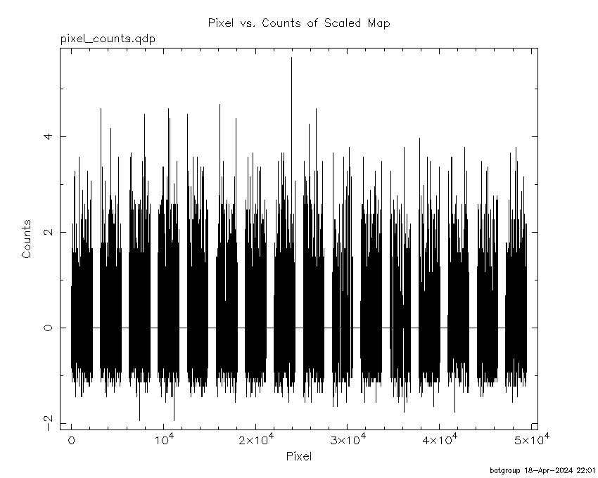
Pixel vs. Counts plot
The data/results are in /local/data/bat1/prebascript/trigger1222955/tdrss_ql/

bat_scaledmap.fits : TDRSS FITS scaled map from GCN
source.img         : Sky FITS image of the scaled map (batfftimage)
source.list        : FITS list of the detected sources (batcelldetect)
scaledmap.log      : Ascii output of the analysis log
bat_pos.reg        : region file for ds9
source.gif         : GIF sky image

Processed time:
Thu Apr 18 22:01:12 EDT 2024