TDRSS scaled map for 180977
GCN BAT Position Notice
TITLE:           GCN/SWIFT NOTICE
NOTICE_DATE:     Fri 10 Feb 06 04:59:15 UT
NOTICE_TYPE:     Swift-BAT GRB Position
TRIGGER_NUM:     180977,   Seg_Num: 0
GRB_RA:           57.730d {+03h 50m 55s} (J2000),
                  57.823d {+03h 51m 17s} (current),
                  56.970d {+03h 47m 53s} (1950)
GRB_DEC:         +27.026d {+27d 01' 33"} (J2000),
                 +27.044d {+27d 02' 38"} (current),
                 +26.875d {+26d 52' 32"} (1950)
GRB_ERROR:       3.00 [arcmin radius, statistical only]
GRB_INTEN:       5140 [cnts]    Image_Peak=204 [image_cnts]
TRIGGER_DUR:     1.024 [sec]
TRIGGER_INDEX:   155     E_range: 50-350 keV
BKG_INTEN:       26724 [cnts]
BKG_TIME:        17910.99 SOD {04:58:30.99} UT
BKG_DUR:         8 [sec]
GRB_DATE:        13776 TJD;    41 DOY;   06/02/10
GRB_TIME:        17929.80 SOD {04:58:49.80} UT
GRB_PHI:         178.62 [deg]
GRB_THETA:        44.14 [deg]
SOLN_STATUS:     0x3
RATE_SIGNIF:     27.58 [sigma]
IMAGE_SIGNIF:    8.42 [sigma]
MERIT_PARAMS:     +1  +0  +0  -1  +3 +10  +0  +0 +17  +1
SUN_POSTN:       323.69d {+21h 34m 47s}  -14.40d {-14d 23' 47"}
SUN_DIST:        100.09 [deg]   Sun_angle= -6.3 [hr] (East of Sun)
MOON_POSTN:      110.74d {+07h 22m 58s}  +27.13d {+27d 07' 33"}
MOON_DIST:        46.74 [deg]
MOON_ILLUM:      92 [%]
GAL_COORDS:      165.17,-20.77 [deg] galactic lon,lat of the burst (or transient)
ECL_COORDS:       61.39,  6.74 [deg] ecliptic lon,lat of the burst (or transient)
COMMENTS:        SWIFT-BAT GRB Coordinates.
COMMENTS:        This is a rate trigger.
COMMENTS:        A point_source was found.
COMMENTS:        This does not match any source in the on-board catalog.
COMMENTS:        This does not match any source in the ground catalog.
COMMENTS:        This is a GRB.
COMMENTS:        This trigger occurred at longitude,latitude = 249.59,11.86 [deg].
GCN BAT Scaled Map Notice
TITLE:           GCN/SWIFT NOTICE
NOTICE_DATE:     Fri 10 Feb 06 05:09:13 UT
NOTICE_TYPE:     Swift-BAT Scaled Map
TRIGGER_NUM:     180977,   Seg_Num: 0
POINT_RA:         77.047d {+05h 08m 11s} (J2000)
POINT_DEC:       +69.705d {+69d 42' 19"} (J2000)
MAP_DATE:        13776 TJD;    41 DOY;   06/02/10
MAP_TIME:        17929.80 SOD {04:58:49.80} UT
TRIGGER_DUR:     1.024 [sec]
SOLN_STATUS:     0x3
RATE_SIGNIF:     27.58 [sigma]
IMAGE_SIGNIF:    8.42 [sigma]
MAP_URL:         sw00180977000msbsm.fits
SUN_POSTN:       323.70d {+21h 34m 48s}  -14.39d {-14d 23' 39"}
SUN_DIST:        111.54 [deg]   Sun_angle= -7.6 [hr] (East of Sun)
MOON_POSTN:      110.83d {+07h 23m 20s}  +27.11d {+27d 06' 44"}
MOON_DIST:        46.81 [deg]
MOON_ILLUM:      92 [%]
GAL_COORDS:      141.99, 17.05 [deg] galactic lon,lat of the pointing direction
ECL_COORDS:       83.51, 46.56 [deg] ecliptic lon,lat of the pointing direction
COMMENTS:        SWIFT-BAT Scaled Map.
Scaled map image

The green circle (6 arcmin radius) is the BAT position (RA, Dec) = (57.730, +27.026).
Search BAT source with the INTEGRAL catalog
known_source_INTEGRAL.sh 57.730 +27.026 1.0
No source found
Results of batcelldetect
Search for the BAT bright source catalog
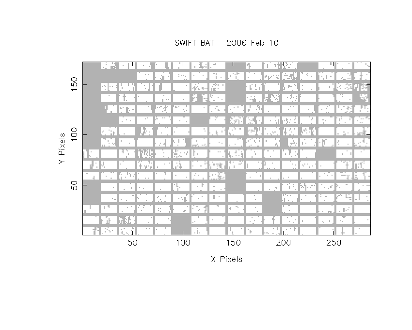
DPI of the combined detector enable/disable map (archived enable/disable map + downloaded data)
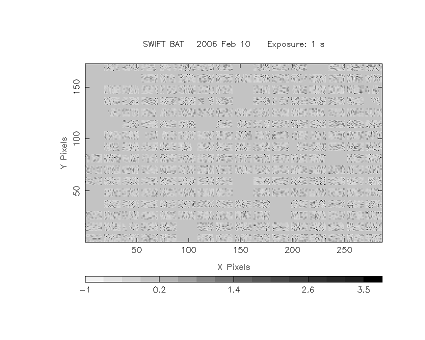
DPI of the scaled map
Pixel vs. Counts plot

The data/results are in /local/data/raid2/prebascript/trigger180977/tdrss_ql/

bat_scaledmap.fits : TDRSS FITS scaled map from GCN
source.img         : Sky FITS image of the scaled map (batfftimage)
source.list        : FITS list of the detected sources (batcelldetect)
scaledmap.log      : Ascii output of the analysis log
bat_pos.reg        : region file for ds9
source.gif         : GIF sky image

Processed time:
Fri Feb 10 08:23:38 EST 2006