TDRSS scaled map for 318832
GCN BAT Position Notice
GCN BAT Scaled Map Notice
TITLE:           GCN/SWIFT NOTICE
NOTICE_DATE:     Sat 02 Aug 08 15:23:35 UT
NOTICE_TYPE:     Swift-BAT Scaled Map
TRIGGER_NUM:     318832,   Seg_Num: 0
POINT_RA:        268.510d {+17h 54m 02s} (J2000)
POINT_DEC:       -27.871d {-27d 52' 14"} (J2000)
MAP_DATE:        14680 TJD;   215 DOY;   08/08/02
MAP_TIME:        54741.07 SOD {15:12:21.07} UT
TRIGGER_DUR:     4.096 [sec]
SOLN_STATUS:     0x0
RATE_SIGNIF:     0.00 [sigma]
IMAGE_SIGNIF:    0.00 [sigma]
MAP_URL:         sw00318832000msbsm.fits
SUN_POSTN:       133.15d {+08h 52m 35s}  +17.55d {+17d 33' 10"}
MOON_POSTN:      148.65d {+09h 54m 36s}  +11.87d {+11d 52' 27"}
MOON_ILLUM:      2 [%]
GAL_COORDS:        1.87, -1.04 [deg] galactic lon,lat of the pointing direction
ECL_COORDS:      268.68, -4.44 [deg] ecliptic lon,lat of the pointing direction
COMMENTS:        SWIFT-BAT Scaled Map.
COMMENTS:        This does not match any source in the ground catalog.
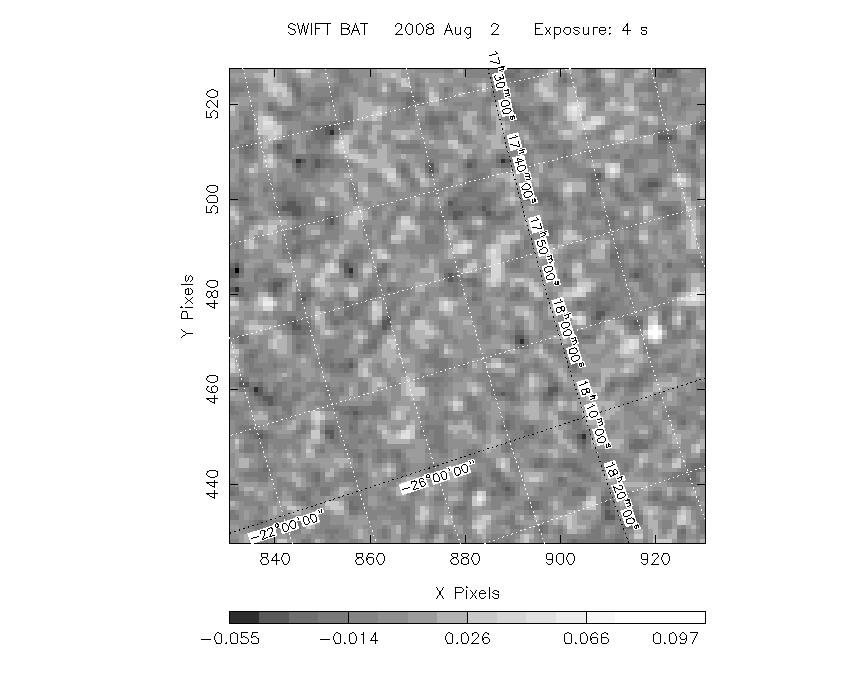
Scaled map image
The green circle (6 arcmin radius) is the BAT position (RA, Dec) = (, ).
Search BAT source with the INTEGRAL catalog
known_source_INTEGRAL.sh   1.0

Usage: known_source_INTEGRAL.sh   []

   Searches through the INTEGRAL catalog (all numbers in degrees)
Results of batcelldetect
# RAcent  DECcent POSerr Theta    Phi  PeakCts   SNR AngSep     Name
#  [deg]    [deg]    ['] [deg]  [deg]                   [']
213.1273 -65.1152    0.0  50.6 -137.1   0.1069   1.2   14.0	Cir Galaxy
228.4657 -59.1565    4.3  41.6 -134.0  -0.0909  -2.7    1.4	PSR B1509-58
231.0084 -65.4386    6.3  44.2 -142.5   0.0567   1.8    9.3	Circinus AGN
235.3702 -52.2213    0.0  34.6 -127.7   0.0395   1.6   12.9	H 1538-522
242.9527 -52.4642    7.3  31.1 -133.2   0.0329   1.6    8.6	4U 1608-522
243.0855 -57.1789   13.8  34.4 -139.4  -0.0179  -0.8    3.1	Cir X-1
245.0745 -15.5130   11.7  25.0  -49.0   0.0189   1.0    9.4	Sco X-1
247.7939 -67.5938    0.0  41.6 -152.1   0.0674   2.5   10.1	4U 1626-67
250.0156 -53.6087    9.6  29.1 -141.0  -0.0218  -1.2   11.5	4U 1636-536
251.5957 -45.4604    7.3  22.1 -131.0   0.0275   1.6   11.0	GX 340+0
253.3377 -40.0061    0.0  17.4 -121.8   0.0233   1.4   12.2	GRO J1655-40
255.1356 -41.7009    6.8  17.6 -129.0  -0.0278  -1.7    3.3	OAO 1657-415
255.7900 -37.8212   39.8  14.6 -120.1   0.0047   0.3    9.4	4U 1700-377
256.4074 -36.2780    8.5  13.2 -116.3  -0.0220  -1.4    8.8	GX 349+2
256.3546 -42.9925   69.4  18.0 -134.0  -0.0028  -0.2    9.5	4U 1702-429
257.1549 -44.2553   22.4  18.7 -137.8  -0.0086  -0.5    9.9	4U 1705-440
257.2002 -32.2449    8.9  10.7 -100.7   0.0201   1.3    2.9	4U 1705-32
257.2844 -36.3710   64.8  12.7 -118.5   0.0115   0.7    2.4	IGR J17091-3624
257.3856 -36.5389   42.7  12.8 -119.3  -0.0171  -1.1    5.2	IGR J17098-3628
257.7072 -28.0517    5.8   9.5  -77.5   0.0315   2.0    9.5	XTE J1710-281
261.4990 -36.2999   19.8  10.3 -130.5  -0.0091  -0.6    9.8	IGR J17252-3616
Search for the BAT bright source catalog
# RAcent  DECcent POSerr Theta    Phi  PeakCts   SNR AngSep     Name
#  [deg]    [deg]    ['] [deg]  [deg]                   [']
245.0745 -15.5130   11.7  25.0  -49.0   0.0189   1.0    9.4	Sco X-1
255.7968 -37.8516   51.2  14.6 -120.2   0.0036   0.2    9.0	4U 1700-377
256.4108 -36.2776    9.1  13.2 -116.3  -0.0203  -1.3    8.8	GX 349+2
262.8867 -24.9231    6.7   5.8  -44.8   0.0267   1.7   12.6	GX 1+4
264.5963 -44.6194    4.9  17.0 -154.3  -0.0369  -2.3   11.9	4U 1735-44
268.5335  -1.5293    4.8  26.3   16.3  -0.0441  -2.4   10.9	SW J1753.5-0127
270.4384 -25.0237    5.6   3.3   48.0  -0.0299  -2.1    9.0	GX 5-1
270.1919 -25.9301    0.0   2.4   54.5   0.0285   1.9   12.7	GRS 1758-258
274.0292 -13.9774  115.4  14.8   37.7  -0.0016  -0.1    3.8	GX 17+2
275.8209 -30.2727    4.9   6.8  128.6  -0.0353  -2.3    7.8	H1820-303
284.9068 -25.0275    6.2  14.9   99.0  -0.0322  -1.9    9.5	HT1900.1-2455
288.8001  10.9899    6.7  43.5   45.8   0.0930   1.7    2.7	GRS 1915+105
270.7335 -32.3157    1.5   4.9  173.4   0.1184   7.7 ------	UNKNOWN
236.0751 -65.1499    2.3  42.5 -144.3   0.1345   5.0 ------	UNKNOWN
215.8362 -47.8399    2.4  45.1 -114.9   0.5558   4.8 ------	UNKNOWN

Search for UNKNOWN source R.A. = 215.8362 Dec. = -47.8399 (search radius of 3 degrees)
No bright source found.

Search for UNKNOWN source R.A. = 236.0751 Dec. = -65.1499 (search radius of 3 degrees)
No bright source found.

Search for UNKNOWN source R.A. = 270.7335 Dec. = -32.3157 (search radius of 3 degrees)
No bright source found.
DPI of the combined detector enable/disable map (archived enable/disable map + downloaded data)

DPI of the scaled map

Pixel vs. Counts plot

The data/results are in /local/data/raid2/prebascript/trigger318832/tdrss_ql/

bat_scaledmap.fits : TDRSS FITS scaled map from GCN
source.img         : Sky FITS image of the scaled map (batfftimage)
source.list        : FITS list of the detected sources (batcelldetect)
scaledmap.log      : Ascii output of the analysis log
bat_pos.reg        : region file for ds9
source.gif         : GIF sky image

Processed time:
Sat Aug  2 11:28:32 EDT 2008