TDRSS scaled map for 520658
GCN BAT Position Notice
TITLE:           GCN/SWIFT NOTICE
NOTICE_DATE:     Sun 22 Apr 12 07:12:49 UT
NOTICE_TYPE:     Swift-BAT GRB Position
TRIGGER_NUM:     520658,   Seg_Num: 0
GRB_RA:          136.929d {+09h 07m 43s} (J2000),
                 137.098d {+09h 08m 24s} (current),
                 136.240d {+09h 04m 58s} (1950)
GRB_DEC:         +14.006d {+14d 00' 23"} (J2000),
                 +13.956d {+13d 57' 23"} (current),
                 +14.209d {+14d 12' 31"} (1950)
GRB_ERROR:       3.00 [arcmin radius, statistical only]
GRB_INTEN:       14754 [cnts]    Image_Peak=380 [image_cnts]
TRIGGER_DUR:     4.096 [sec]
TRIGGER_INDEX:   298     E_range: 25-100 keV
BKG_INTEN:       128240 [cnts]
BKG_TIME:        25863.87 SOD {07:11:03.87} UT
BKG_DUR:         40 [sec]
GRB_DATE:        16039 TJD;   113 DOY;   12/04/22
GRB_TIME:        25923.64 SOD {07:12:03.64} UT
GRB_PHI:         -110.99 [deg]
GRB_THETA:        23.54 [deg]
SOLN_STATUS:     0x3
RATE_SIGNIF:     11.83 [sigma]
IMAGE_SIGNIF:    8.33 [sigma]
MERIT_PARAMS:     +1  +0  +0  +2  +2  -1  +0  +0 +22  +0
SUN_POSTN:        30.37d {+02h 01m 28s}  +12.36d {+12d 21' 40"}
SUN_DIST:        102.78 [deg]   Sun_angle= -7.1 [hr] (East of Sun)
MOON_POSTN:       40.22d {+02h 40m 53s}  +17.64d {+17d 38' 26"}
MOON_DIST:        92.16 [deg]
MOON_ILLUM:      1 [%]
GAL_COORDS:      215.24, 36.45 [deg] galactic lon,lat of the burst (or transient)
ECL_COORDS:      135.19, -2.38 [deg] ecliptic lon,lat of the burst (or transient)
COMMENTS:        SWIFT-BAT GRB Coordinates.
COMMENTS:        This is a rate trigger.
COMMENTS:        A point_source was found.
COMMENTS:        This does not match any source in the on-board catalog.
COMMENTS:        This does not match any source in the ground catalog.
COMMENTS:        This is a GRB.
COMMENTS:        This trigger occurred at longitude,latitude = 180.72,-19.45 [deg].
GCN BAT Scaled Map Notice
TITLE:           GCN/SWIFT NOTICE
NOTICE_DATE:     Sun 22 Apr 12 07:23:33 UT
NOTICE_TYPE:     Swift-BAT Scaled Map
TRIGGER_NUM:     520658,   Seg_Num: 0
POINT_RA:        160.958d {+10h 43m 50s} (J2000)
POINT_DEC:       +11.636d {+11d 38' 08"} (J2000)
MAP_DATE:        16039 TJD;   113 DOY;   12/04/22
MAP_TIME:        25923.64 SOD {07:12:03.64} UT
TRIGGER_DUR:     4.096 [sec]
SOLN_STATUS:     0x3
RATE_SIGNIF:     11.83 [sigma]
IMAGE_SIGNIF:    8.33 [sigma]
MAP_URL:         sw00520658000msbsm.fits
SUN_POSTN:        30.37d {+02h 01m 30s}  +12.36d {+12d 21' 49"}
MOON_POSTN:       40.31d {+02h 41m 15s}  +17.66d {+17d 39' 37"}
MOON_ILLUM:      1 [%]
GAL_COORDS:      234.03, 56.30 [deg] galactic lon,lat of the pointing direction
ECL_COORDS:      158.03,  3.32 [deg] ecliptic lon,lat of the pointing direction
COMMENTS:        SWIFT-BAT Scaled Map.
COMMENTS:
COMMENTS:        The next comments were copied from the BAT_POS Notice:
Scaled map image

The green circle (6 arcmin radius) is the BAT position (RA, Dec) = (136.929, +14.006).
Search BAT source with the INTEGRAL catalog
known_source_INTEGRAL.sh 136.929 +14.006 1.0
No source found
Results of batcelldetect
# RAcent  DECcent POSerr Theta    Phi  PeakCts   SNR AngSep     Name
#  [deg]    [deg]    ['] [deg]  [deg]                   [']
133.6934  39.5386    0.0  36.9  -65.4   0.0364   1.1    0.0	NGC 2691
135.5287 -40.5547    0.0  57.3  173.5   0.2283   1.9    0.0	Vela X-1
146.4116 -31.1911    0.0  45.1  168.3   0.0644   2.1    0.0	NGC 2997
146.9173 -30.9489    0.0  44.7  167.9   0.0185   0.6    0.0	MCG -5-23-016
169.5454  48.0369    0.0  37.1  -19.8  -0.0179  -0.9    0.0	XTE J1118+480
174.7572 -37.7386    0.0  51.0  136.6   0.0541   0.4    0.0	NGC 3783
182.6357  39.4057    0.0  33.8    1.5  -0.0102  -0.5    0.0	NGC 4151
186.4448  12.6621    0.0  24.9   55.6  -0.0142  -0.8    0.0	NGC 4388
187.2779   2.0524    0.0  27.8   78.8  -0.0301  -1.3    0.0	3C 273
181.5668  33.3512    2.1  28.7    8.3   0.0945   5.4 ------	UNKNOWN
136.9199  14.0049    1.2  23.6 -111.0   0.1797   9.7 ------	UNKNOWN
132.8998  16.9021    2.1  27.7 -105.1   0.1240   5.6 ------	UNKNOWN
125.5640  44.7458    2.2  44.8  -65.1   0.5387   5.2 ------	UNKNOWN
128.4947  50.5745    2.2  47.1  -57.1   0.5105   5.3 ------	UNKNOWN
Search for the BAT bright source catalog
# RAcent  DECcent POSerr Theta    Phi  PeakCts   SNR AngSep     Name
#  [deg]    [deg]    ['] [deg]  [deg]                   [']
135.5287 -40.5547    0.0  57.3  173.5   0.2283   1.9    0.0	Vela X-1
181.5668  33.3512    2.1  28.7    8.3   0.0945   5.4 ------	UNKNOWN
136.9199  14.0049    1.2  23.6 -111.0   0.1797   9.7 ------	UNKNOWN
132.8998  16.9021    2.1  27.7 -105.1   0.1240   5.6 ------	UNKNOWN
125.5640  44.7458    2.2  44.8  -65.1   0.5387   5.2 ------	UNKNOWN
128.4947  50.5745    2.2  47.1  -57.1   0.5105   5.3 ------	UNKNOWN

Search for UNKNOWN source R.A. = 125.5640 Dec. = +44.7458 (search radius of 3 degrees)
No bright source found.

Search for UNKNOWN source R.A. = 128.4947 Dec. = +50.5745 (search radius of 3 degrees)
No bright source found.

Search for UNKNOWN source R.A. = 132.8998 Dec. = +16.9021 (search radius of 3 degrees)
No bright source found.

Search for UNKNOWN source R.A. = 136.9199 Dec. = +14.0049 (search radius of 3 degrees)
No bright source found.

Search for UNKNOWN source R.A. = 181.5668 Dec. = +33.3512 (search radius of 3 degrees)
No bright source found.
DPI of the combined detector enable/disable map (archived enable/disable map + downloaded data)

DPI of the scaled map

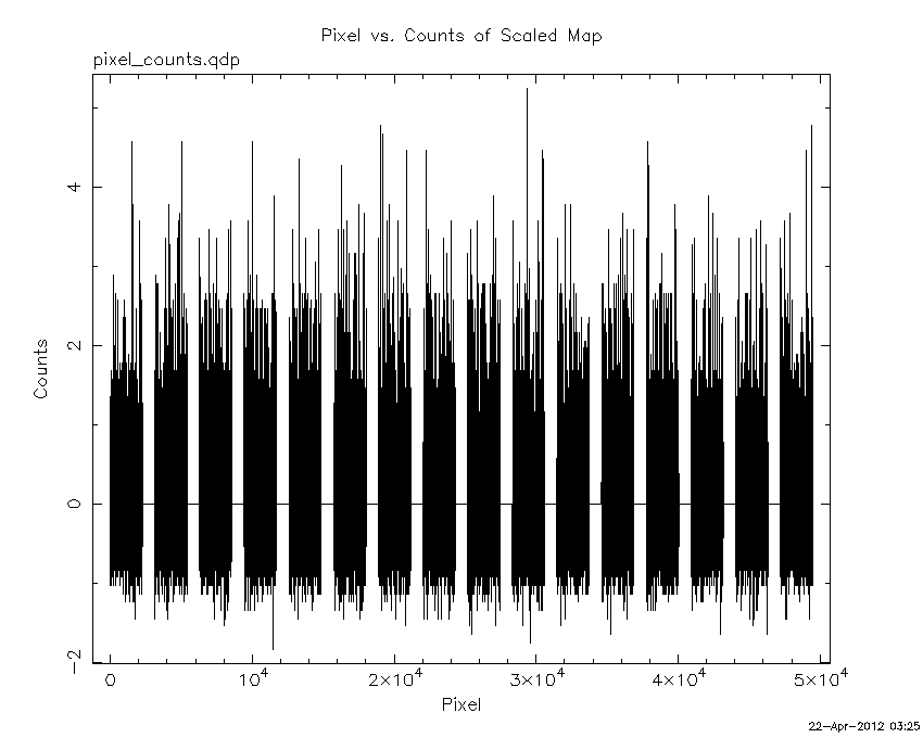
Pixel vs. Counts plot
The data/results are in /local/data/raid2/prebascript/trigger520658/tdrss_ql/

bat_scaledmap.fits : TDRSS FITS scaled map from GCN
source.img         : Sky FITS image of the scaled map (batfftimage)
source.list        : FITS list of the detected sources (batcelldetect)
scaledmap.log      : Ascii output of the analysis log
bat_pos.reg        : region file for ds9
source.gif         : GIF sky image

Processed time:
Sun Apr 22 03:25:43 EDT 2012