TDRSS scaled map for 882809
GCN BAT Position Notice
TITLE:           GCN/SWIFT NOTICE
NOTICE_DATE:     Wed 09 Jan 19 11:56:32 UT
NOTICE_TYPE:     Swift-BAT GRB Position
TRIGGER_NUM:     882809,   Seg_Num: 0
GRB_RA:           55.595d {+03h 42m 23s} (J2000),
                  56.016d {+03h 44m 04s} (current),
                  54.497d {+03h 37m 59s} (1950)
GRB_DEC:         +63.578d {+63d 34' 40"} (J2000),
                 +63.637d {+63d 38' 14"} (current),
                 +63.418d {+63d 25' 06"} (1950)
GRB_ERROR:       3.00 [arcmin radius, statistical only]
GRB_INTEN:       3294 [cnts]    Image_Peak=183 [image_cnts]
TRIGGER_DUR:     1.024 [sec]
TRIGGER_INDEX:   137     E_range: 15-50 keV
BKG_INTEN:       19486 [cnts]
BKG_TIME:        42953.77 SOD {11:55:53.77} UT
BKG_DUR:         8 [sec]
GRB_DATE:        18492 TJD;     9 DOY;   19/01/09
GRB_TIME:        42969.20 SOD {11:56:09.20} UT
GRB_PHI:          31.31 [deg]
GRB_THETA:        28.79 [deg]
SOLN_STATUS:     0x20000003
RATE_SIGNIF:     15.03 [sigma]
IMAGE_SIGNIF:    8.64 [sigma]
MERIT_PARAMS:     +1  +0  +0  +0  +1  -1  +0  +1 +57  +0
SUN_POSTN:       290.49d {+19h 21m 57s}  -22.10d {-22d 06' 01"}
SUN_DIST:        125.18 [deg]   Sun_angle= -8.4 [hr] (East of Sun)
MOON_POSTN:      329.36d {+21h 57m 26s}  -15.30d {-15d 17' 44"}
MOON_DIST:       102.20 [deg]
MOON_ILLUM:      10 [%]
GAL_COORDS:      140.63,  6.75 [deg] galactic lon,lat of the burst (or transient)
ECL_COORDS:       70.06, 42.50 [deg] ecliptic lon,lat of the burst (or transient)
COMMENTS:        SWIFT-BAT GRB Coordinates.
COMMENTS:        This is a rate trigger.
COMMENTS:        A point_source was found.
COMMENTS:        This does not match any source in the on-board catalog.
COMMENTS:        This does not match any source in the ground catalog.
COMMENTS:        This is a GRB.
COMMENTS:        This trigger occurred at longitude,latitude = 179.02,3.07 [deg].
COMMENTS:
COMMENTS:        NOTE: This BAT event is temporally(1.0<100sec) coincident with the FERMI_GBM event (trignum=568727775).
GCN BAT Scaled Map Notice
TITLE:           GCN/SWIFT NOTICE
NOTICE_DATE:     Wed 09 Jan 19 12:06:10 UT
NOTICE_TYPE:     Swift-BAT Scaled Map
TRIGGER_NUM:     882809,   Seg_Num: 0
POINT_RA:         33.200d {+02h 12m 48s} (J2000)
POINT_DEC:       +38.092d {+38d 05' 32"} (J2000)
MAP_DATE:        18492 TJD;     9 DOY;   19/01/09
MAP_TIME:        42969.20 SOD {11:56:09.20} UT
TRIGGER_DUR:     1.024 [sec]
SOLN_STATUS:     0x3
RATE_SIGNIF:     15.03 [sigma]
IMAGE_SIGNIF:    8.64 [sigma]
MAP_URL:         sw00882809000msbsm.fits
SUN_POSTN:       290.49d {+19h 21m 58s}  -22.10d {-22d 05' 58"}
MOON_POSTN:      329.44d {+21h 57m 45s}  -15.27d {-15d 16' 29"}
MOON_ILLUM:      10 [%]
GAL_COORDS:      140.10,-22.05 [deg] galactic lon,lat of the pointing direction
ECL_COORDS:       44.22, 23.24 [deg] ecliptic lon,lat of the pointing direction
COMMENTS:        SWIFT-BAT Scaled Map.
COMMENTS:
COMMENTS:        The next comments were copied from the BAT_POS Notice:
Scaled map image

The green circle (6 arcmin radius) is the BAT position (RA, Dec) = (55.595, +63.578).
Search BAT source with the INTEGRAL catalog
known_source_INTEGRAL.sh 55.595 +63.578 1.0
No source found
Results of batcelldetect
# RAcent  DECcent POSerr Theta    Phi  PeakCts   SNR AngSep     Name
#  [deg]    [deg]    ['] [deg]  [deg]                   [']
  7.2036  59.2894    0.0  26.9  -18.9  -0.0114  -1.2    0.0	V709 Cas
 19.5112  65.2916    0.0  28.3   -1.3   0.0131   1.2    0.0	4U 0114+65
 52.8001  43.9046    0.0  15.8   73.0  -0.0201  -1.9    0.0	GK Per
 53.7495  53.1732    0.0  20.7   47.3  -0.0055  -0.5    0.0	V0332+53
 58.8458  31.0497    0.0  22.2  111.5  -0.0085  -0.7    0.0	X Per
 93.9015  71.0375    0.0  44.9   34.4   0.0218   0.8    0.0	Mkn 3
321.1638  50.9739    0.0  50.8  -39.9  -0.0314  -0.9    0.0	IGR J21247+5058
323.4320  51.1236    0.0  49.4  -40.2  -0.0261  -0.9    0.0	RX J2133.7+5107
331.9808  54.5197    0.0  43.7  -36.7  -0.0551  -3.1    0.0	4U 2206+54
350.9671  42.1830    0.0  32.2  -58.4  -0.0208  -1.5    0.0	1ES 2321+419
 55.5677  63.5714    1.3  28.8   31.3   0.1128   9.1 ------	UNKNOWN
 10.7019  58.5154    2.2  25.1  -17.5   0.0491   5.3 ------	UNKNOWN
Search for the BAT bright source catalog
# RAcent  DECcent POSerr Theta    Phi  PeakCts   SNR AngSep     Name
#  [deg]    [deg]    ['] [deg]  [deg]                   [']
 55.5677  63.5714    1.3  28.8   31.3   0.1128   9.1 ------	UNKNOWN

Search for UNKNOWN source R.A. = 55.5677 Dec. = +63.5713 (search radius of 3 degrees)
No bright source found.
DPI of the combined detector enable/disable map (archived enable/disable map + downloaded data)

DPI of the scaled map

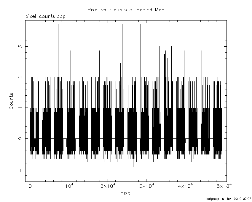
Pixel vs. Counts plot
The data/results are in /local/data/bat1/prebascript/trigger882809/tdrss_ql/

bat_scaledmap.fits : TDRSS FITS scaled map from GCN
source.img         : Sky FITS image of the scaled map (batfftimage)
source.list        : FITS list of the detected sources (batcelldetect)
scaledmap.log      : Ascii output of the analysis log
bat_pos.reg        : region file for ds9
source.gif         : GIF sky image

Processed time:
Wed Jan  9 07:07:15 EST 2019